Core concepts
Geospatial in Agriculture and Sorghum’s Importance
Geospatial technology is transforming agriculture through precision and real-time monitoring, while sorghum stands out as a sustainable crop vital to food security. The paragraphs ahead detail these innovations and their broader implications.
Be Careful!
Data inconsistencies in agriculture, such as varying soil conditions or climate records, can affect model accuracy. Ensure your inputs are well-prepared and well-selected!
Geospatial in Agriculture
Precision Agriculture
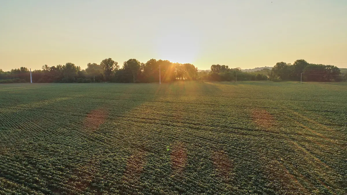
Geospatial technologies have revolutionized agriculture by improving efficiency, sustainability, and productivity. Precision agriculture, also known as site-specific crop management (SSCM), leverages tools such as GIS, GPS (Global Positioning Systems), and remote sensing to precisely monitor and manage variability within fields.
Using high-resolution spatial data, farmers can assess factors like soil quality, moisture content, nutrient levels, and plant health across different zones of a single field. This allows for the creation of detailed prescription maps that guide variable-rate applications of inputs such as fertilizers, pesticides, irrigation, and seeds—delivering exactly what each part of the field needs, no more and no less.
This data-driven approach not only improves crop yields but also reduces input waste and minimizes environmental impacts by lowering the risk of over-fertilization and runoff. Additionally, precision agriculture supports sustainable practices by promoting soil health, conserving water, and reducing greenhouse gas emissions through more efficient machinery use. Over time, it contributes to cost savings, resource conservation, and greater resilience against climate variability and market pressures.
By integrating historical spatial data and real-time monitoring, precision agriculture transforms farming from a uniform, generalized activity into a tailored, high-efficiency system. This allows producers to make more informed decisions at every stage of the growing cycle.
Real-Time Monitoring
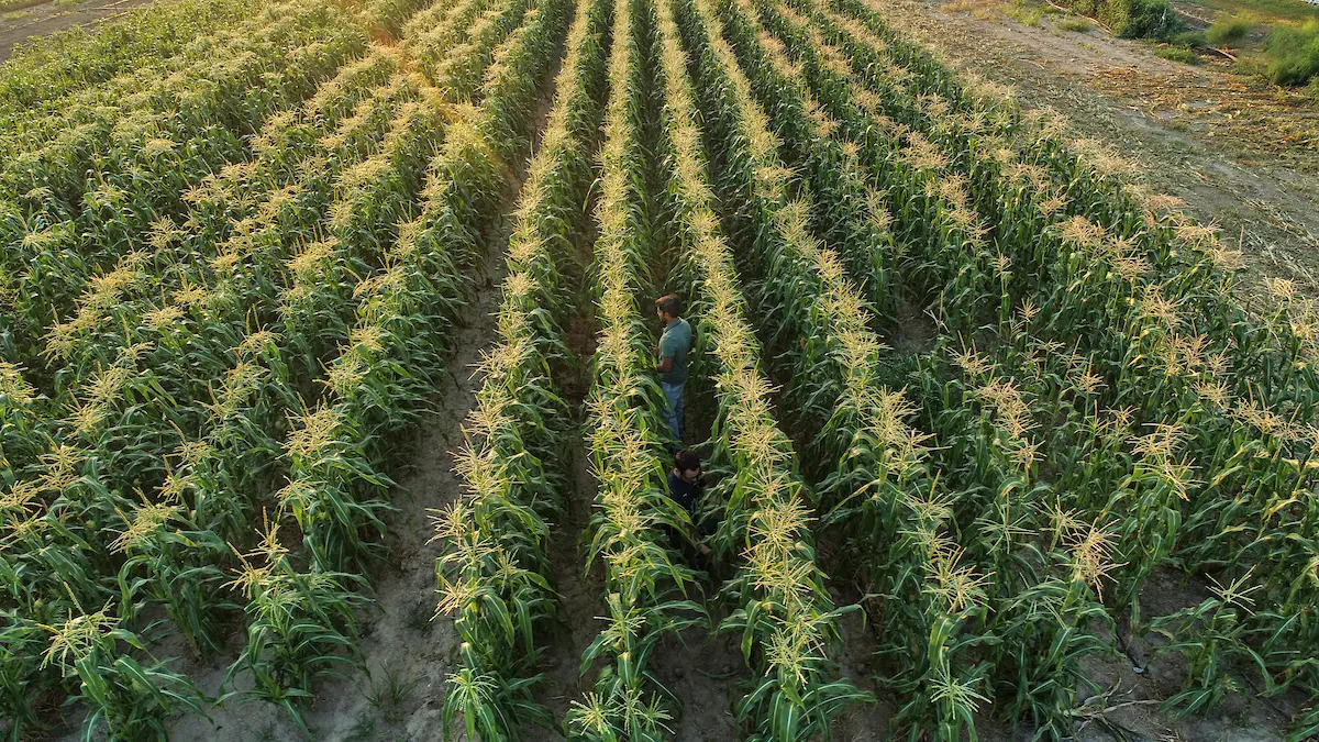
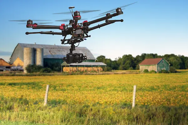
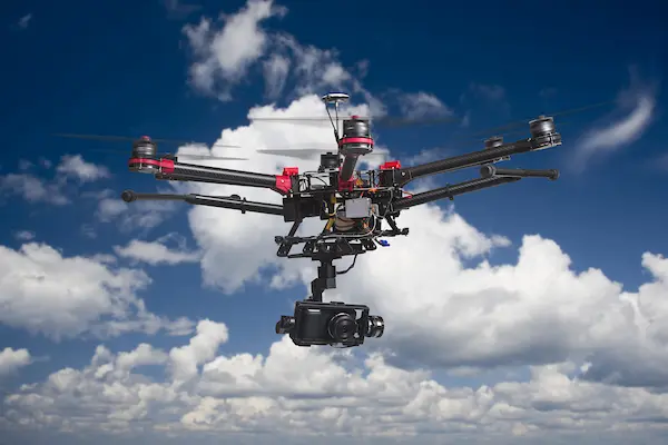
Real-time monitoring using satellite imagery and unmanned aerial vehicles (UAVs), such as drones, has revolutionized the way we approach agricultural and environmental challenges. These technologies enable the continuous observation of vast agricultural landscapes, providing high-resolution imagery that allows for early detection of crop diseases, pest infestations, water stress, and nutrient deficiencies. By identifying these issues promptly, farmers and agronomists can take targeted corrective actions, such as applying pesticides or adjusting irrigation, leading to improved crop health, yield optimization, and reduced resource waste.
In parallel, real-time monitoring with GIS tools plays a pivotal role in land-use planning and resource allocation. By integrating and analyzing diverse datasets (this includes weather trends, topography, soil quality, and historical crop performance), GIS tools with real-time monitoring allow researchers and decision-makers to make informed choices about where and how to grow specific crops. This helps minimize risk and maximize efficiency by tailoring practices to the environmental suitability of each area.
We cannot stress enough that these geospatial tools are instrumental in disaster management and climate change adaptation. GIS and real-time monitoring technologies can be used to model and evaluate the impact of natural disasters such as floods, droughts, or wildfires. This facilitates not only rapid emergency response but also long-term planning. For example, GIS with real-time monitoring can support the development of climate-resilient cropping strategies, such as recommending alternative crops or varieties better suited to anticipated climatic shifts. Over time, this contributes to sustainable agricultural practices, food security, and enhanced resilience in vulnerable regions.
Resources Used
Precision Agriculture
First used for information on Precision Agriculture: Precision Agriculture
Second source used for information on Precision Agriculture: Applications of Geospatial Technologies for Precision Agriulture
Third source used for information on Precision Agriculture: Benefits and Evolution of Precision Agriculture
Real-time Monitoring
First Source used for information on Real-Time Monitoring: Real-Time Event Monitoring: Geospatial Technology for Faster Response
Second Source used for information on Real-Time Monitoring:Real-Time Data Streaming and Analytics System
Third Source used for information on Real-Time Monitoring:The Power of Real-Time Data: Geospatial Technologies in Action
📝 Pop Quiz! 📝
Lets recap on the concepts you just read about, and see how much you learned! The answers can be found below, no peeking!
Questions
- What is precision agriculture and what is another name for it?
- How do GIS and GPS contribute to precision agriculture?
- What is a “prescription map” and how is it used in farming?
- Name at least two benefits of using precision agriculture practices.
- What does real-time monitoring allow farmers to detect early?
- What types of data are used in real-time monitoring with GIS tools?
- How does real-time monitoring support climate change adaptation in agriculture?
- What kinds of technologies are used for real-time monitoring in farming?
- Why is it important to tailor agricultural practices to different zones within a field?
- How can geospatial tools help in responding to natural disasters like floods or wildfires?
You Should Know!
To view the answers to the quiz, you need to receive the password from your instructor. From there, click next to the word "Password" below, type in the password, and then click "View Quiz Answers".
Answers
Continue on to the final Core Concepts section to read about what Sorghum is, and why our lab studies it here at the Danforth Plant Science Center!