Core concepts
Geospatial Science
What is Geospatial Science?
Before you get started, it may be helpful to learn more about the topics you are going to be working with. To begin, Geospatial Science is the study of location-based data combined with analytical and technological tools like GIS and GPS. The following information you are about to read, explore the meaning of geospatial data, its foundational framework, and its transformative role in the 4th Industrial Revolution.
What Is Geospatial Data?
Geospatial data integrates location information (often in the form of geographic coordinates) with attribute data about objects or events and temporal information describing when these attributes exist. This integration is managed, analyzed, and visualized through tools like Geographic Information Systems (GIS), remote sensing technologies, and Global Positioning Systems (GPS).
Traditional vs Geospatial Data
You may be wondering to yourself..
Great! I understand what geospatial data is now! How does this then differentiate between what some researchers might call 'traditional' data?
Excellent question!
Traditional data typically refers to tabular or structured data that describes characteristics of phenomena but does not inherently include spatial (location-based) references. Think spreadsheets, databases, or survey results where data points are organized in rows and columns, often representing abstract entities like people, products, or events. These data points are usually analyzed using statistics, graphs, and charts, but their context in physical space is either absent or added only indirectly.
| Aspect | Traditional Data | Geospatial Data |
|---|---|---|
| Spatial Context | Lacks inherent geographic location | Contains geographic location (e.g., coordinates, addresses, boundaries) |
| Structure | Tabular, structured (rows and columns) | Often includes spatial layers, shapefiles, rasters, or geotagged records |
| Visualization | Charts, tables, graphs | Maps, 3D models, satellite imagery |
| Analysis Tools | Spreadsheets, SQL, statistics software | GIS, remote sensing platforms, spatial analytics tools |
| Examples | Customer list with demographics | Distribution of customers on a map, overlaid with sales territory boundaries |
Summarizing this, geospatial data adds an explicit dimension of “where” to traditional data’s “what,” “when,” and “how.” This makes it invaluable for solving problems that involve spatial relationships, patterns, and geographic trends. It is incredibly useful in fields from environmental monitoring and urban planning to epidemiology and agriculture!
Important
Make sure you understand the distinction between geospatial data and traditional data. It is important to understand the difference in order to avoid confusion when working with GIS tools.
Geography Information Systems
GIS and Geospatial Science
What Are Geographic Information Systems?
A Geographic Information System (GIS) is a computer-based tool designed for capturing, storing, analyzing, and visualizing spatial or geographic data. It integrates location data (such as coordinates or addresses) with various types of information, enabling users to understand patterns, relationships, and trends in a geographic context. GIS comprises several components:
- Hardware: Computers and GPS devices used for data collection and processing.
- Software: Applications that facilitate data analysis and visualization.
- Data: Spatial (location-based) and attribute (descriptive) information.
- People: Skilled professionals who manage and interpret GIS data.
- Methods: Procedures and techniques for data analysis and decision-making.
By combining these elements, GIS allows for the creation of detailed maps and models that support various applications, from urban planning to environmental conservation!
How Is GIS Used in Geospatial Science?
Geographic Information Systems are fundamental tools in geospatial science, serving as the backbone for collecting, managing, analyzing, and visualizing spatial data. In geospatial science, GIS is used to investigate patterns, relationships, and trends across geographic spaces. This enables researchers to model real-world phenomena and support data-driven decision-making. GIS provides the spatial framework necessary to explore and understand complex environmental and societal challenges. See a few examples below on how GIS is used in Geospatial Science studies:
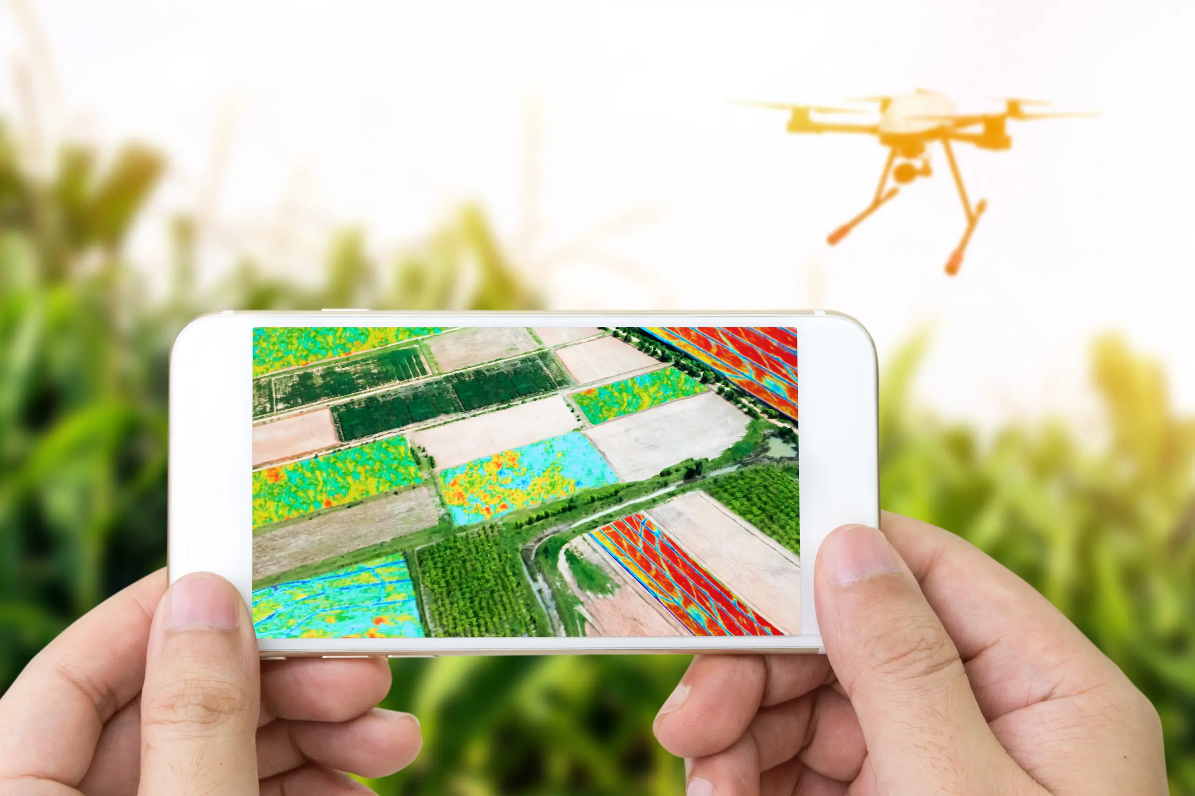
- Remote Sensing: Collecting data from satellites or aircraft to monitor environmental changes.
- Global Positioning Systems (GPS): Determining precise locations on Earth.
- Artificial Intelligence (AI): Enhancing data analysis through machine learning algorithms.
- Cloud Computing: Storing and processing large datasets efficiently.
You Should Know!
Geospatial technologies are foundational to industries such as urban planning, logistics, and climate science. Mastering these concepts opens doors to numerous career paths.
Resources Used
Please see below the resources that we used, to provide you the information above!
Source used for information on Geographical Information Systems: What is GIS? Guide to Geographic Information Systems
Second source used for information on Geographical Information Systems: What is GIS?
Source used for information on Geographical Science: Geospatial Science
Source used for information on Geospatial Technologies: What are Geospatial Technologies?
📝 Pop Quiz! 📝
Lets recap on the concepts you just read about, and see how much you learned! The answers can be found below, no peeking!
Questions
- What is geospatial science the study of?
- What three types of information are combined in geospatial data?
- How does geospatial data differ from traditional data?
- Name at least two tools used to analyze or visualize geospatial data.
- What does GIS stand for, and what does it do?
- What are the five core components of a GIS system?
- Why is GIS important for understanding spatial patterns?
- Give two real-world applications of geospatial technologies.
- What is remote sensing, and how is it used in geospatial science?
- Why is it important to understand the difference between geospatial and traditional data when working with GIS?
You Should Know!
To view the answers to the quiz, you need to receive the password from your instructor. From there, click next to the word "Password" below, type in the password, and then click "View Quiz Answers".
Answers
Continue on to the second Core Concepts section to read about the importance of Geospatial research!