Core concepts
Why Is Geospatial Research Important and Impactful?
Geospatial research enables the understanding of spatial patterns and relationships, driving data-driven solutions in diverse fields. The following sections highlight the importance of spatial analysis tools, their precision, and their transformative potential.
Watch Out!
Geospatial data is only as accurate as its sources. Be cautious of outdated or incomplete data when conducting your research.
Understanding Spatial Patterns
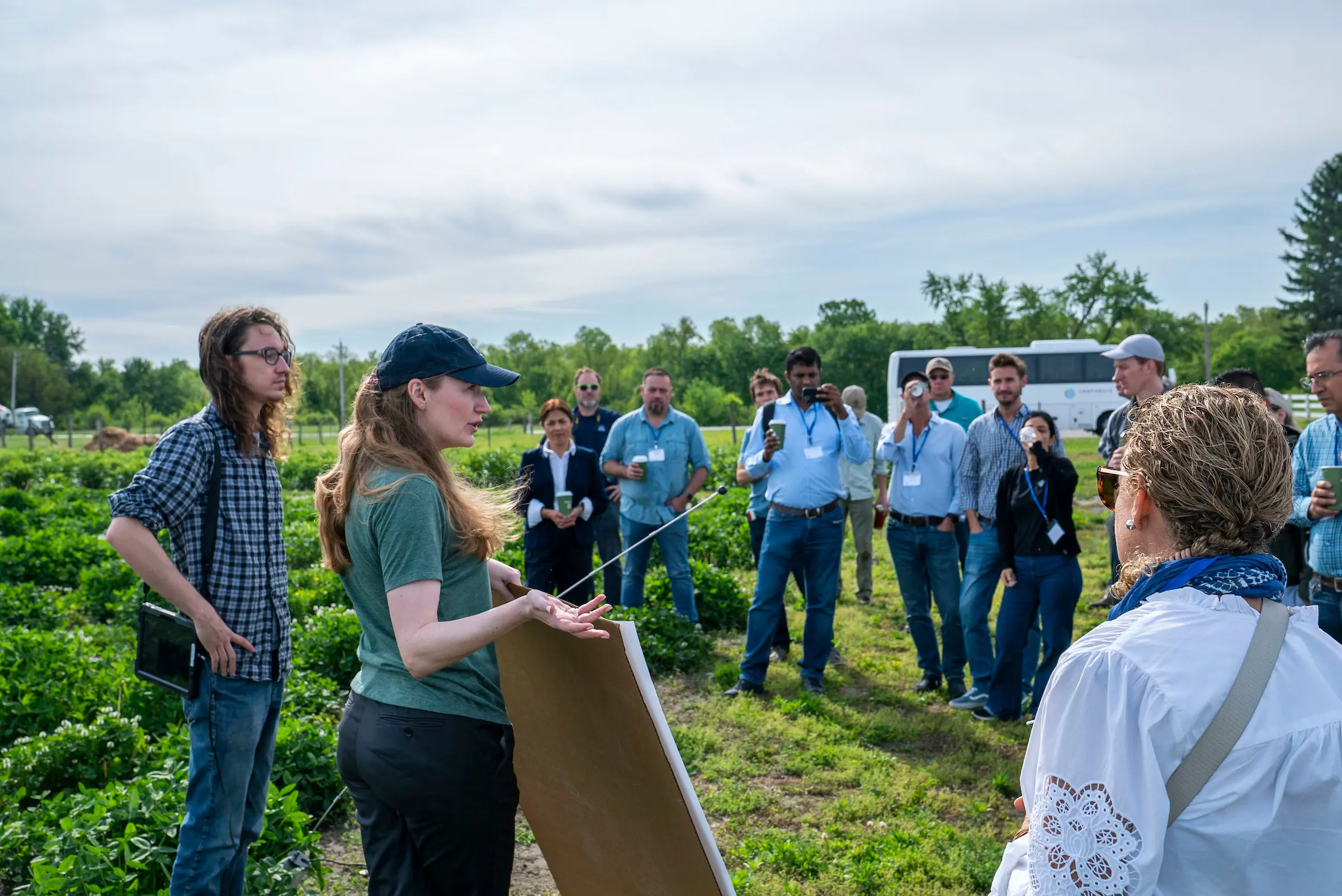
Geospatial research helps us understand how things are arranged and how they change across space and time. Whether it's tracking the spread of a disease in a city, observing how forests are shrinking, or planning where to build new roads, this research reveals patterns that are not obvious at first glance. By layering maps, charts, and data, scientists and planners can see relationships, like how population density might affect air pollution, or where natural disasters are likely to occur. This type of analysis supports smarter decisions in areas like urban planning, where cities are built and expanded, disaster management, where early warning systems and evacuation routes are needed, and environmental conservation, where we work to protect wildlife and natural resources. In all of these cases, geospatial tools make it easier to spot trends and find practical solutions based on real-world data.

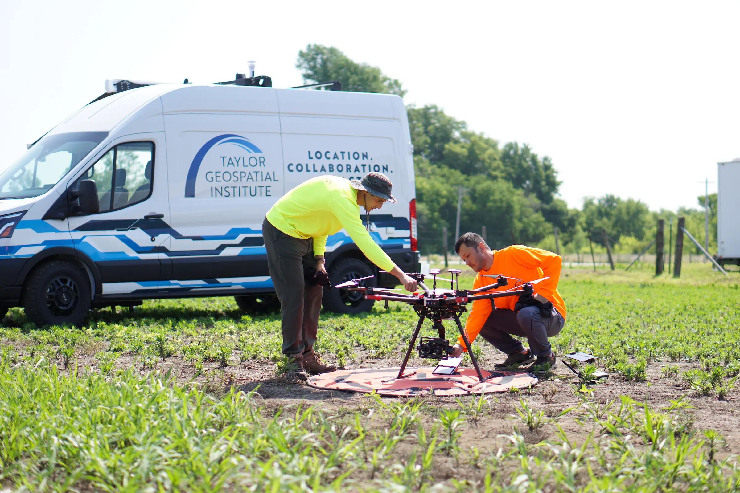
Tools Driving Precision
Modern geospatial research relies on powerful tools that collect, manage, and interpret spatial data. Technologies like Geographic Information Systems (GIS), remote sensing, and Global Positioning Systems (GPS) work together with devices like drones, satellites, and environmental sensors to gather precise information about the Earth’s surface. For example, drones can fly over a field to check crop health, while satellites can monitor weather and climate patterns around the globe. These tools can also simulate future scenarios, like how rising sea levels might affect coastal towns or how a disease could spread through a region. By modeling these kinds of spatial phenomena, researchers can make accurate predictions and provide advice that helps people, governments, and businesses make informed choices. Whether it's guiding farmers on when to water crops or helping emergency teams plan for wildfires, geospatial technology enables precise, timely, and data-driven action.
Transformative Potential
Geospatial research isn’t just about maps, it’s about transforming the way we understand and interact with the world. By revealing how different systems are connected, like transportation, natural resources, and human activity, it helps us approach complex challenges with a more complete picture. For instance, it can guide smart city development by showing how traffic flows through neighborhoods, or help conservationists design wildlife corridors that animals can safely travel through. This kind of research encourages strategic thinking, where decisions are made with a full understanding of environmental, social, and economic factors. In a world facing big challenges like climate change, pandemics, and growing populations, geospatial research gives us the tools to respond in smart and coordinated ways, that shape a more sustainable and resilient future.
You Should Know!
Geospatial research has a direct impact on real-world decisions, from disaster relief to urban planning. Mastery of these tools makes you an asset in any field involving spatial data.
Resources Used
Please see below the resources that we used, to provide you the information above!
First used for information on Spatial Patterns: Exploring Spatial Patterns in Data
Second source used for information on Spatial Patterns : Spatial Patterns in Geography and GIS
Third source used for information on Spatial Pattern Analysis: Spatial Pattern Analysis
This source was more focused on a specific technology called ArcGIS Pro, but it gives good visuals and background knowledge into different forms of spatial pattern analysis: Understanding spatial patterns of data in ArcGIS Pro
📝 Pop Quiz! 📝
Lets recap on the concepts you just read about, and see how much you learned! The answers can be found below, no peeking!
Questions
- What is the main purpose of geospatial research?
- How does geospatial research help in urban planning and disaster management?
- Name three tools or technologies that are commonly used in geospatial research.
- Give one example of how drones or satellites are used in geospatial research.
- What does it mean when we say geospatial research can "simulate future scenarios"?
- How does geospatial research support smart city development?
- Why is it important to be cautious with geospatial data sources?
- In what way does geospatial research promote strategic thinking?
- Describe how geospatial tools contribute to environmental conservation.
- What is one reason why learning geospatial research skills can be valuable for your future?
You Should Know!
To view the answers to the quiz, you need to receive the password from your instructor. From there, click next to the word "Password" below, type in the password, and then click "View Quiz Answers".
Answers
Continue on to the third Core Concepts section to read about how Geospatial Science is used in Agriculture!